Works.
Biography.
Thoughts.
Shop.
Contact.
Blog
Contact
Portfolio
Portfolio
All
Bicycle
Fantasy
Historical
Melbourne
Public transport
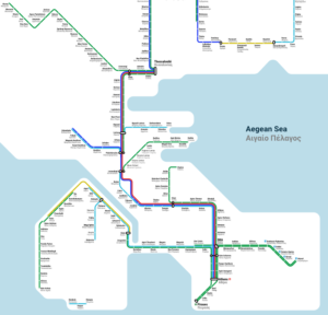
Rail Map of Greece
Public transport
Melbourne suburb names etymology
Melbourne
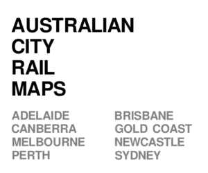
Australian city rail maps
Public transport
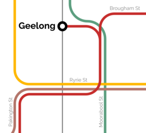
Geelong Tram Network
Historical
,
Public transport
Vignelli Melbourne Rail Map
Melbourne
,
Public transport
Melbourne rail network 2050
Fantasy
,
Melbourne
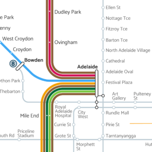
Adelaide Fantasy Rail Map 2050
Fantasy
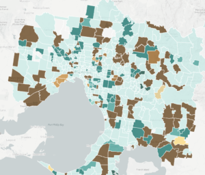
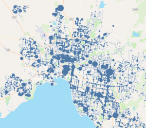
Victorian bus stop patronage
Melbourne
,
Public transport
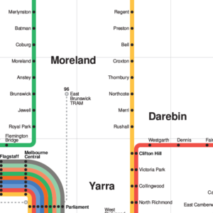
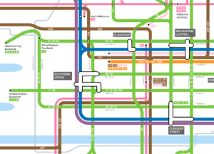
Melbourne public transport map
Bicycle
,
Melbourne
,
Public transport
1928 Victorian Railways Map
Historical
,
Public transport
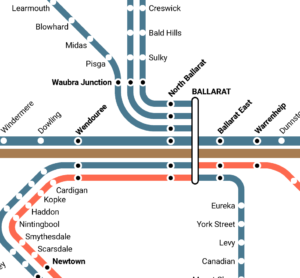
Melbourne rail network pocket map
Melbourne
,
Public transport
Melbourne train map with Suburban Rail Loop
Melbourne
,
Public transport