Works.
Biography.
Thoughts.
Shop.
Contact.
Blog
Contact
Portfolio
Public transport
All
Bicycle
Fantasy
Historical
Melbourne
Public transport
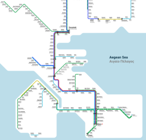
Rail Map of Greece
Public transport
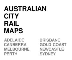
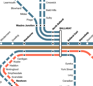
Australian city rail maps
Public transport
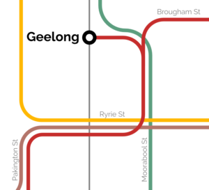
Geelong Tram Network
Historical
,
Public transport
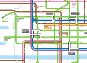
Vignelli Melbourne Rail Map
Melbourne
,
Public transport
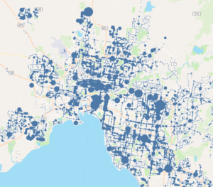
Victorian bus stop patronage
Melbourne
,
Public transport
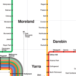
Melbourne public transport map
Bicycle
,
Melbourne
,
Public transport
1928 Victorian Railways Map
Historical
,
Public transport
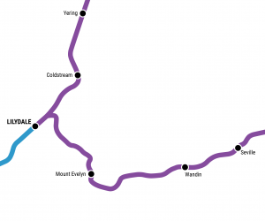
Melbourne rail network pocket map
Melbourne
,
Public transport
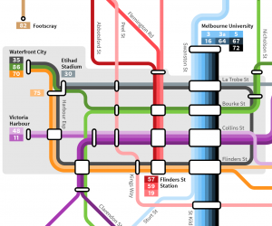
Melbourne train map with Suburban Rail Loop
Melbourne
,
Public transport
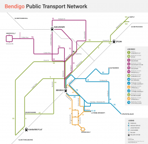
Bendigo public transport map
Public transport
Melbourne tram map
Melbourne
,
Public transport
Historical melbourne rail map
Fantasy
,
Historical
,
Melbourne
,
Public transport