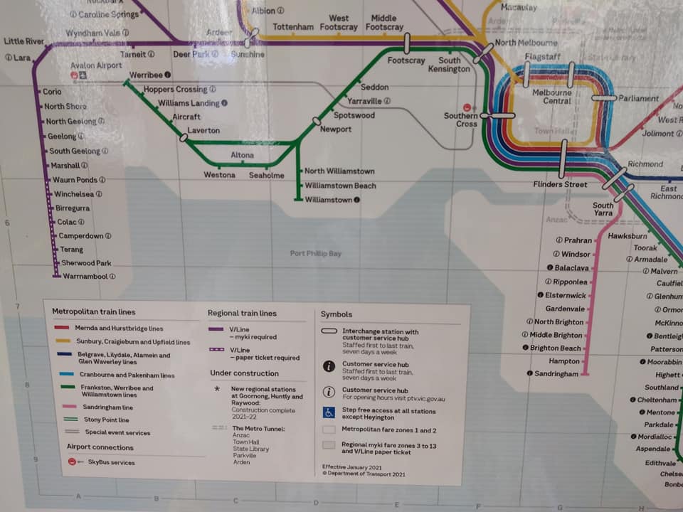
Why Skybus should not be on a rail map
This is my second post about the new version of the Victorian Rail Network Map that PTV have started distributing in trains – as shown…


This is my second post about the new version of the Victorian Rail Network Map that PTV have started distributing in trains – as shown…

I’d been considering writing a post on this topic for a while, inspired by the ongoing tradition of Sydney including things that don’t currently exist…

See the full project description and download link here. It is difficult to overstate how transformative the recently-announced Suburban Rail Loop will be for Melbourne’s…

I spent a few days putting together a map that shows the distances between railway stations on Melbourne’s metropolitan rail network. The spacing has been…
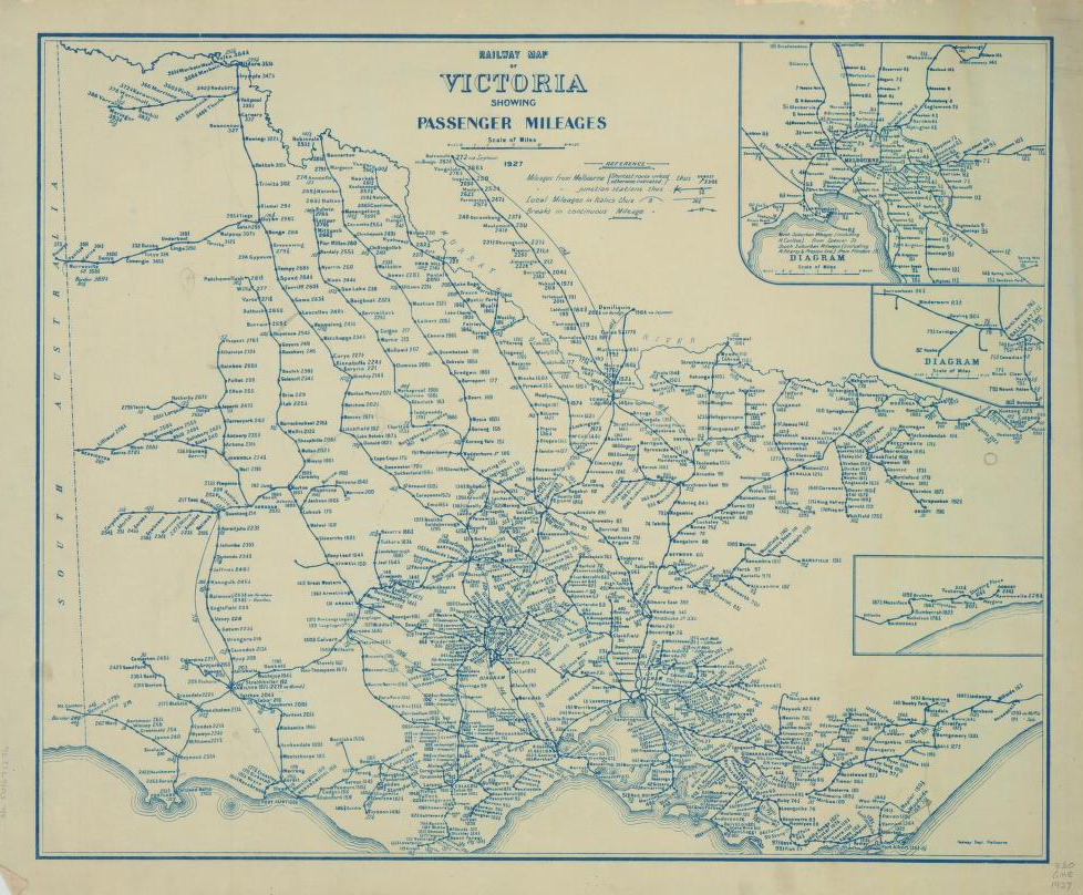
Victoria is not well-known for its transport maps in the same way as London or New York. Despite this lack of enduring iconic design, the…

After the publication of my schematic public transport map of Chernarus, there was some confusion about its design and purpose. Hopefully this post will clear…