

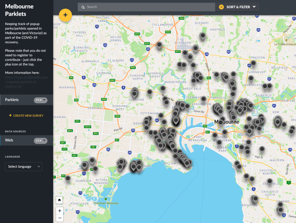
The crowdsourced map of parklets across Melbourne and Victoria has been up for a few months now. At the time of writing, there are over 300 that people have added!
Unfortunately as I’m in the middle of two rather large mapping projects at the moment, I don’t have the time to do this data justice any time soon.
Instead I am releasing the entire dataset here in two formats: CSV (file here) and GeoJSON (file here) for anyone to use – under a Creative Commons Attribution-ShareAlike 4.0 International (CC BY-SA 4.0) License.
Thanks again to everyone for contributing and I look forward to seeing what others can do with this data.
Full disclaimer: this is not a comprehensive map and only includes parklets that have been added by either myself or other people. These are not official or authoritative sources on the exact number or location of parklets.