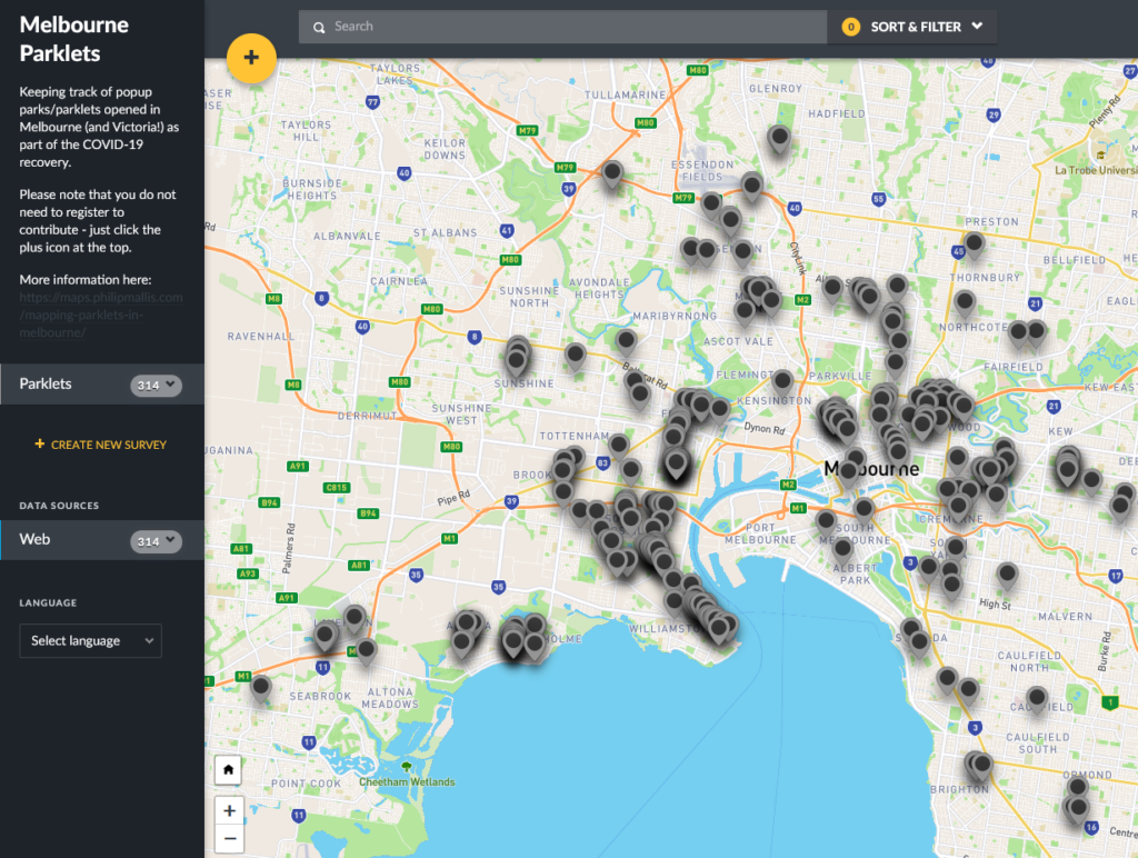
Parklet map data now available
The crowdsourced map of parklets across Melbourne and Victoria has been up for a few months now. At the time of writing, there are over…


The crowdsourced map of parklets across Melbourne and Victoria has been up for a few months now. At the time of writing, there are over…
Link to the map here. Over the past few months, there have been concerted efforts by the State Government and local governments across Victoria to…
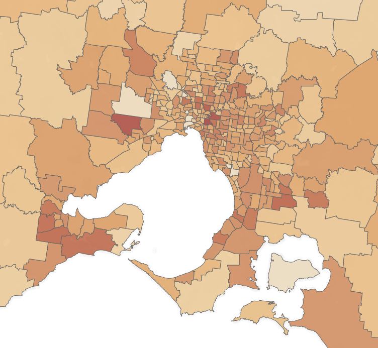
In the midst of this pandemic, there is not much current data available to know the exact impacts on our communities. As a result, I…