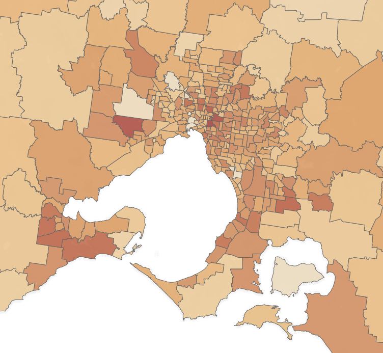
Understanding COVID-19 impacts on Victoria using maps
In the midst of this pandemic, there is not much current data available to know the exact impacts on our communities. As a result, I…


Any news and snippets of map progress will be posted here.
Also check out the Facebook page for further updates.
In the midst of this pandemic, there is not much current data available to know the exact impacts on our communities. As a result, I…

Those who follow me on Twitter or Facebook may have already seen the announcement of my latest and largest mapping project – the Melbourne Transport…

See the full project description and download link here. It is difficult to overstate how transformative the recently-announced Suburban Rail Loop will be for Melbourne’s…
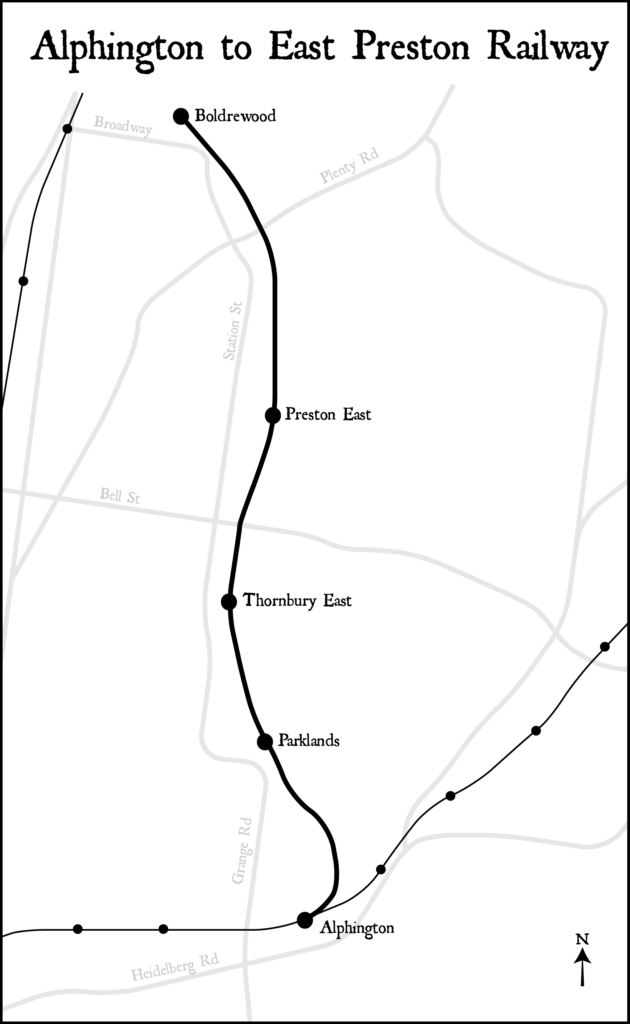
Recently I was looking through some old documents related to Alphington. Buried within Hansard from 1948 was a document entitled the Alphington to East Preston…

I spent a few days putting together a map that shows the distances between railway stations on Melbourne’s metropolitan rail network. The spacing has been…
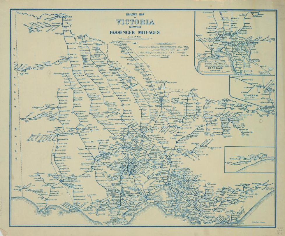
Victoria is not well-known for its transport maps in the same way as London or New York. Despite this lack of enduring iconic design, the…

After the publication of my schematic public transport map of Chernarus, there was some confusion about its design and purpose. Hopefully this post will clear…

Every website has to start somewhere. This one is for maps that I create and publish. These have most recently made since I began studying…