

I have posted before about journey planning for bikes over on my main blog. But what about maps showing bike routes and information in general?
There are several great resources out there to help, most of them community-made.
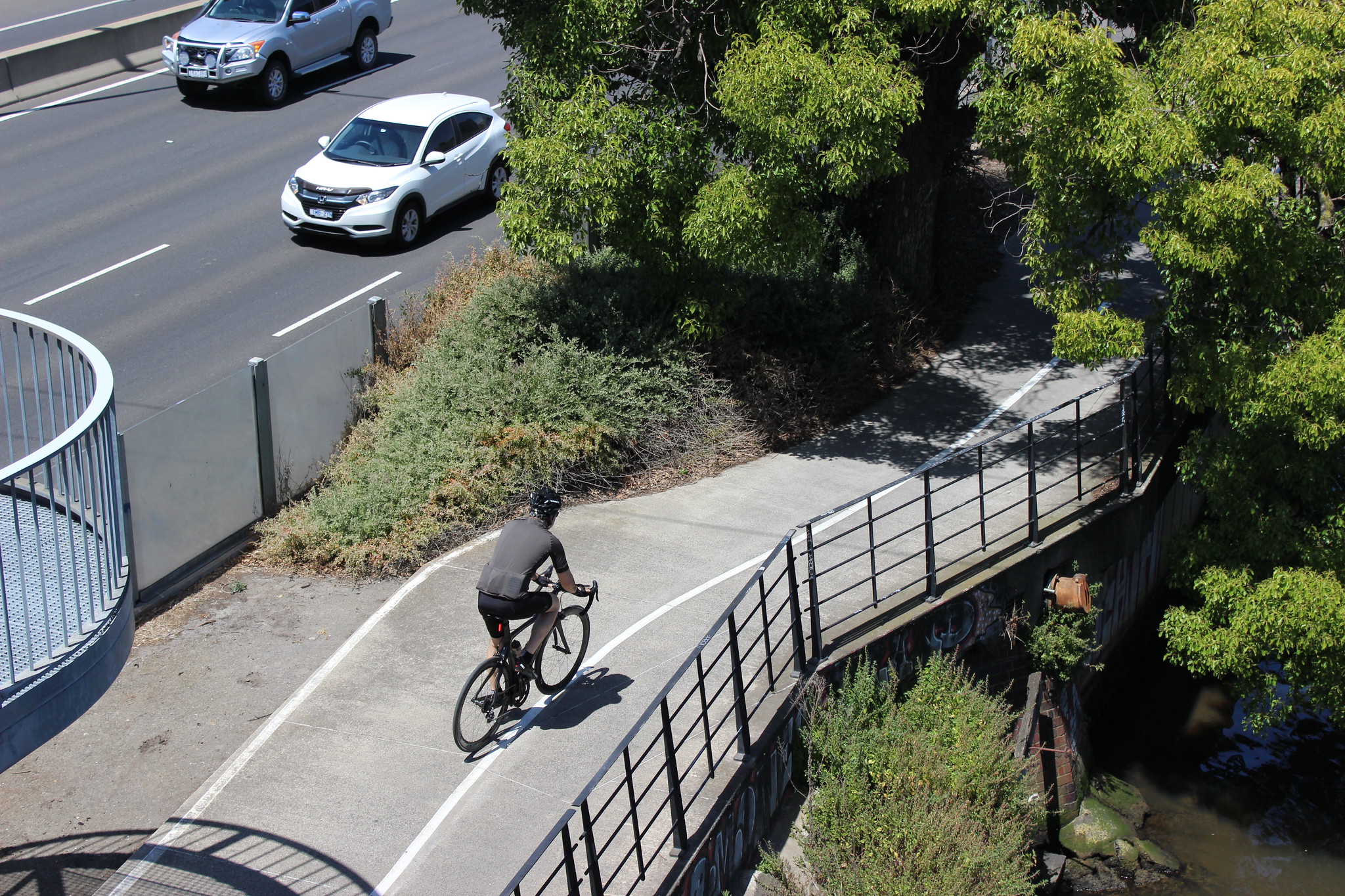
If you have to pick one, I think that the best overall is OpenCycleMap and its associated tools. Basically, it’s a tileset that shows bicycle-related data from OpenStreetMap (a free and open-sourced map of the world).
It’s my first choice for several reasons:
- The underlying OpenStreetMap data is far more accurate and up to date than any other
- It contains heaps of in-depth information, such as path surfaces
- Bicycle repair stations, cafes and bicycle shops are shown
- The map shows railway lines and stations, including bicycle parking
- A basic route heirarchy is shown (e.g. local vs. regional trails)
- On-road ‘shimmy’ routes are shown as well as off-road trails
- The map differentiates between different types of bicycle lanes – for example, separated vs. painted vs. sharrows
You can access a web version of OpenCycleMap here: https://www.opencyclemap.org/
Perhaps best of all, it links into the journey planner Openrouteservice (accessible here: https://maps.openrouteservice.org/). This is an API that is now used in many apps and websites but can also be accessed through your web browser.
Basically it uses the OpenStreetMap bike data to give you directions specific to bike riding (walking and wheeling too). So instead of getting directions from Google Maps telling you to cycle down the middle of Punt Road, Openrouteservice uses the map data to give you much safer and better routes. You can change several options too. For example, you can choose whether you want a shorter route or avoid a particular area.
Most bicycle apps now use OpenCycleMap and/or Openrouteservice. My personal choice is RidewithGPS (they have a great free version too), but others like Strava and MapMyRide also offer this as options.
Other than OpenCycleMap, there are many other places to look for bicycle routes. I have listed the ones that I know about below. If you have any to add, please let me know in the comments and I’ll add it to the list:
- Travelsmart maps that you can obtain for free as a hard copy from councils or as an electronic PDF (they are specific to each council area and some are out of date): https://www.vicroads.vic.gov.au/traffic-and-road-use/cycling/bicycle-route-maps
- This great schematic map showing major off-road paths in a compact format (some minor errors though): https://np.reddit.com/r/melbourne/comments/iz797f/i_made_a_transitstyle_map_of_melbournes_offroad/
- My own Melbourne Bike Map showing major off-road paths (also some minor errors – I’m getting around to fixing them though!): https://philam.github.io/melbournebikemap/
- ‘Melbourne Bike Trails‘ website with major trails overlaid onto Google Maps with Streetview and other useful features included: https://melbournebiketrails.yolasite.com/
- John Parker’s long-standing ‘Bike Trails in Australia‘ website which has some nifty tools, including a ‘distance by bike’ feature and navigation notes at key locations: http://www.bigyak.net.au/trails/biketrails.html
- The ‘Melbourne Bike Grid‘ map with over 1 million views, has a lot of useful layers including cafes, smaller trails and roads to avoid: https://www.google.com/maps/d/u/0/viewer?mid=16S-faloxDySd0qacgOe4usf99cY&ll=-37.79962074903367%2C144.93204219949493&z=11
- BBBike @ Melbourne uses OpenStreetMap but uses a different directions API and includes a live traffic layer: https://www.bbbike.org/Melbourne/
- Despite all of its problems, Google Maps still has its uses (be sure to turn on the ‘Cycling’ layer in the sidebar and be very cautious when following its suggested directions): https://www.google.com.au/maps
1 Comment
Join the discussion and tell us your opinion.
Council service offices and their web sites would have maps to view and download, whether their own or custom publication or others that you mention such as TravelSmart.
Avenza Maps also has various maps available.
Apple Maps, let it be said, is an absolute shocker for riding.